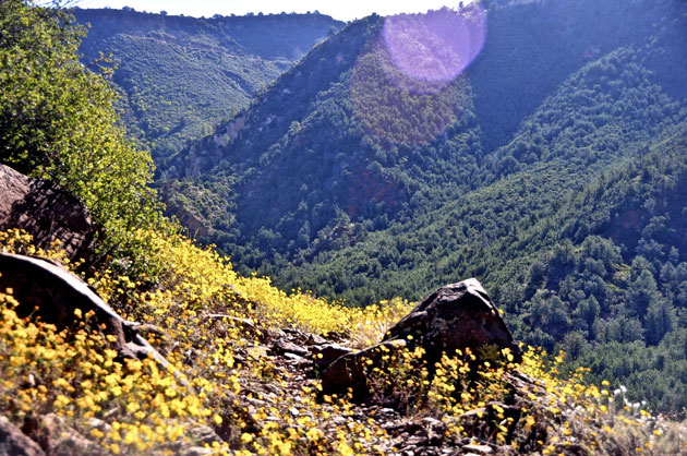
Bring your wading shoes for this one. You’ll be wading clear, cool Oak Creek early in the hike. According to historians, this trail was built to provide cattle grazers a means of getting their stock from water on the canyon floor to pastures on the canyon rim. Today, it is used by hikers and horsebackers for access into the heart of a landscape most people see only through their telephoto lens.
After crossing Oak Creek, the trail leads a short way up the floor of Casner Canyon before turning up the canyon’s north slope. It then continues a long and sometimes steep climb to the canyon rim about a half-mile north of the Schnebly Hill Road overlook. The route it follows is a scenic one, right through the middle of some of the rock formations that make up the spectacular view from Sedona and Highway 89A. Because shade is sparse, this can be a hard, hot climb on a sunny day. Bring lots of water along with your camera. (Trai orignally built in the late 1870’s by Mose and Riley Casner. The trail connects Oak Creek Canyon with upper Schnebly Hill Road.)
6/10